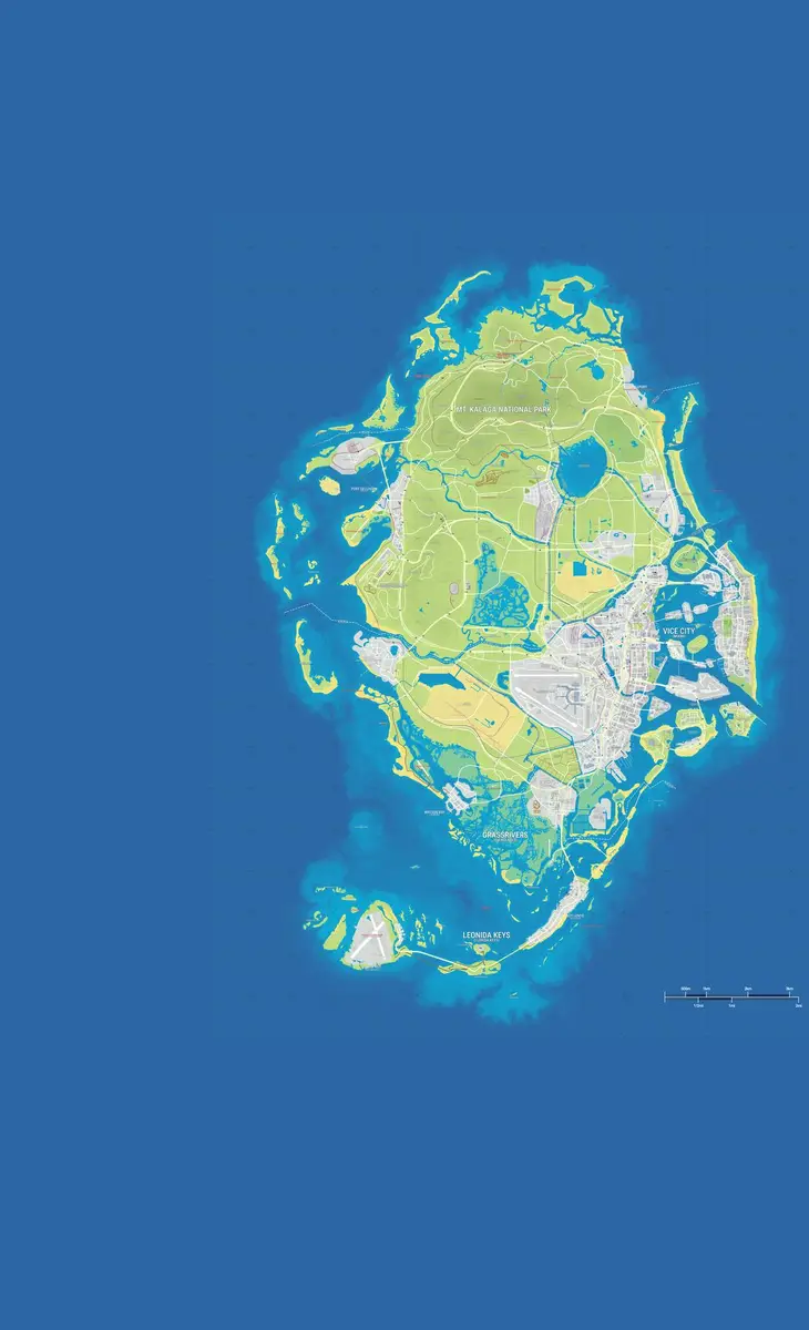
GTA 6 Map Image (Full Map, HD)
Updated · 2 min read
Short answer: here's the full GTA 6 map of Leonida as one high-resolution image (2400 × 3470 px), with all six regions and the major landmarks labelled, plus a close-up of each region. They're free to use with a credit. The map is the community basemap built from official trailers and screenshots, because Rockstar hasn't released a readable official map yet (see Is there an official GTA 6 map?).
Updated Oct 14, 2026: first version.
Full GTA 6 map
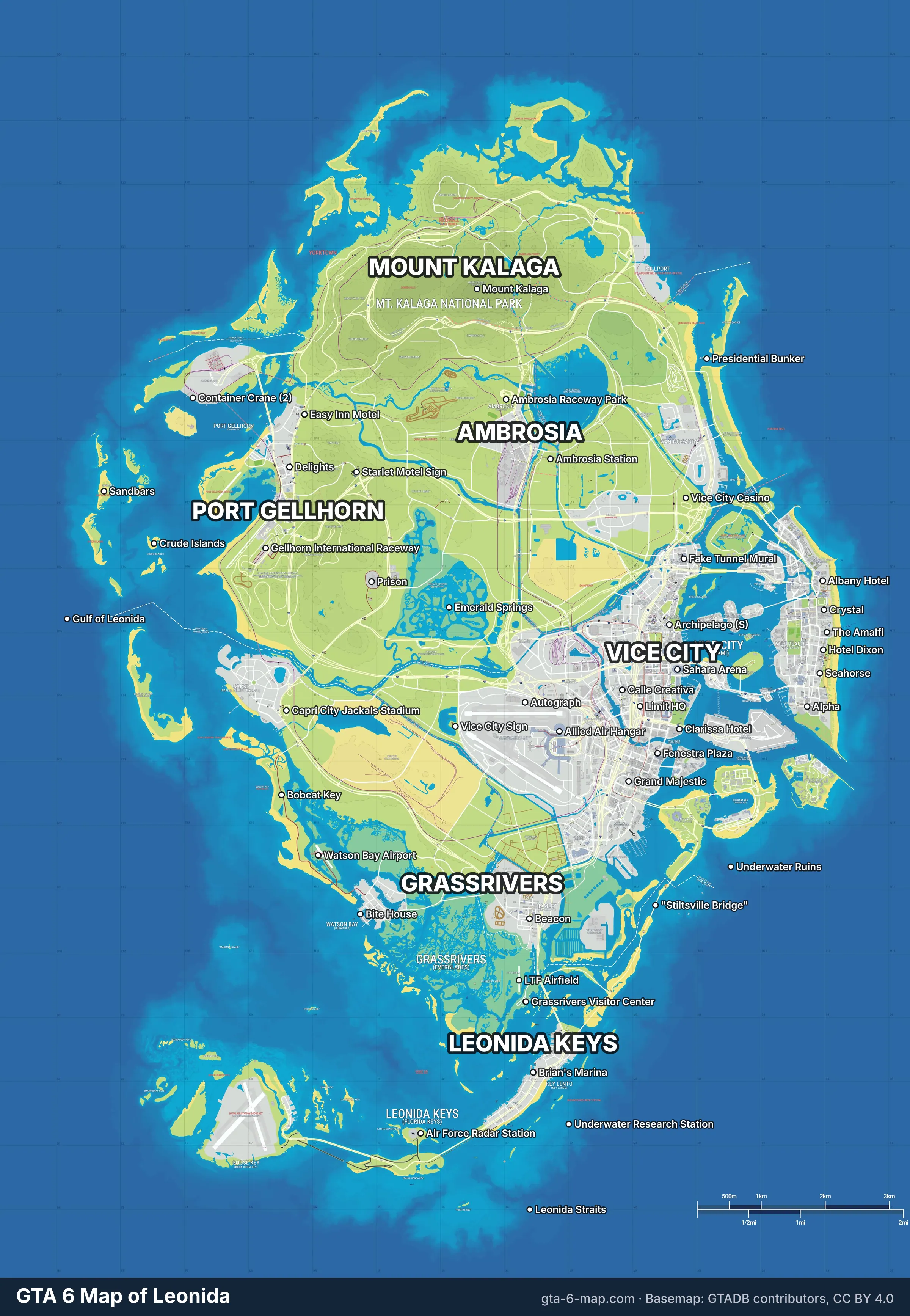 The whole of Leonida, 2400 × 3470 px. Basemap: GTADB contributors (CC BY 4.0).
Download: WebP (2400 × 3470) · JPEG (2400 × 3470)
Want to zoom further? The interactive map goes down to street level, with 889 places you can click.
Vice City map
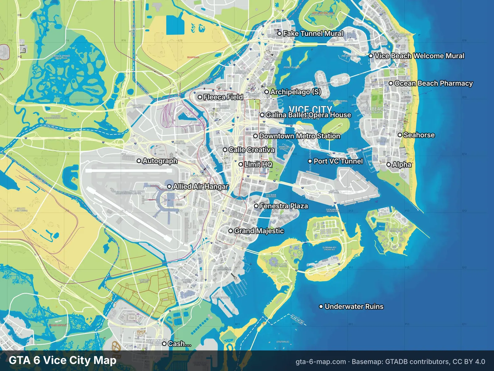 Vice City and Vice Beach, GTA 6's Miami.
Vice City is GTA 6's Miami: downtown, the airport, the port and the art deco hotels of Vice Beach. Download: WebP · JPEG
Leonida Keys map
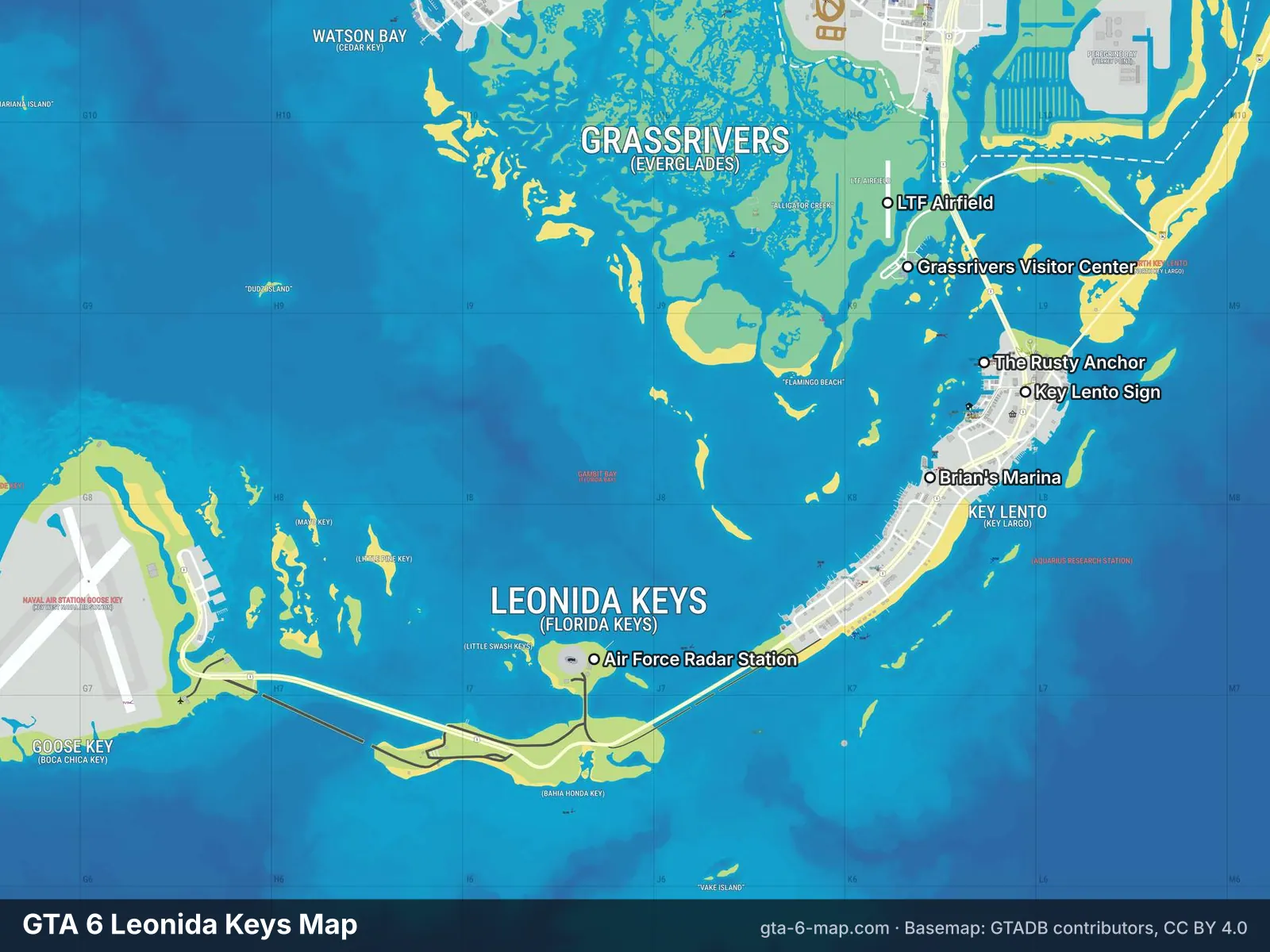 The Leonida Keys, GTA 6's Florida Keys.
The Leonida Keys, where Jason lives. Download: WebP · JPEG
Grassrivers map
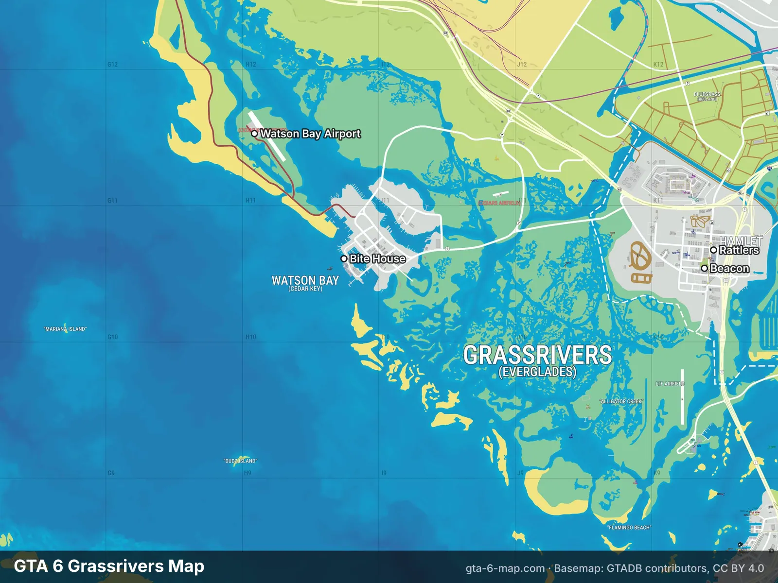 Grassrivers, GTA 6's Everglades.
Grassrivers, the wetlands. Download: WebP · JPEG
Port Gellhorn map
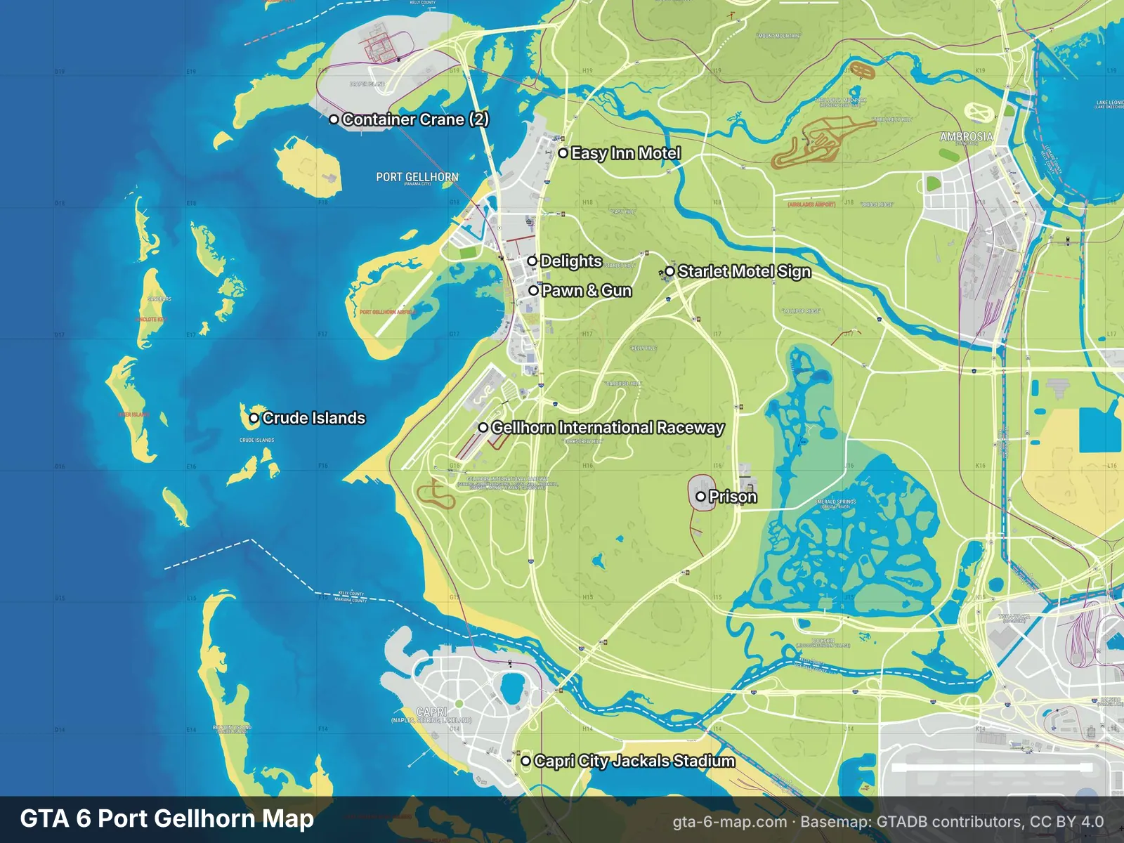 Port Gellhorn on the Gulf coast.
Port Gellhorn and the Gulf coast. Download: WebP · JPEG
Ambrosia map
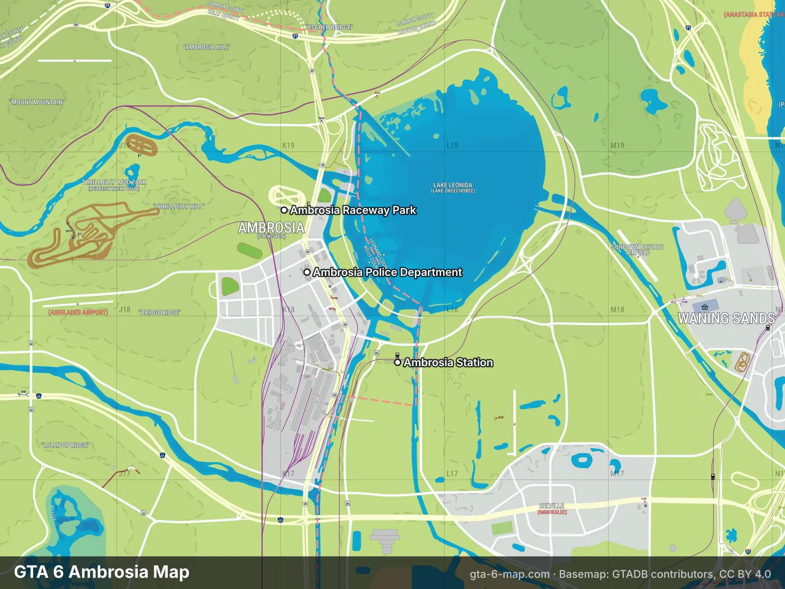 Ambrosia, Leonida's sugar country.
Ambrosia, home of the Allied Crystal sugar refinery. Download: WebP · JPEG
Mount Kalaga map
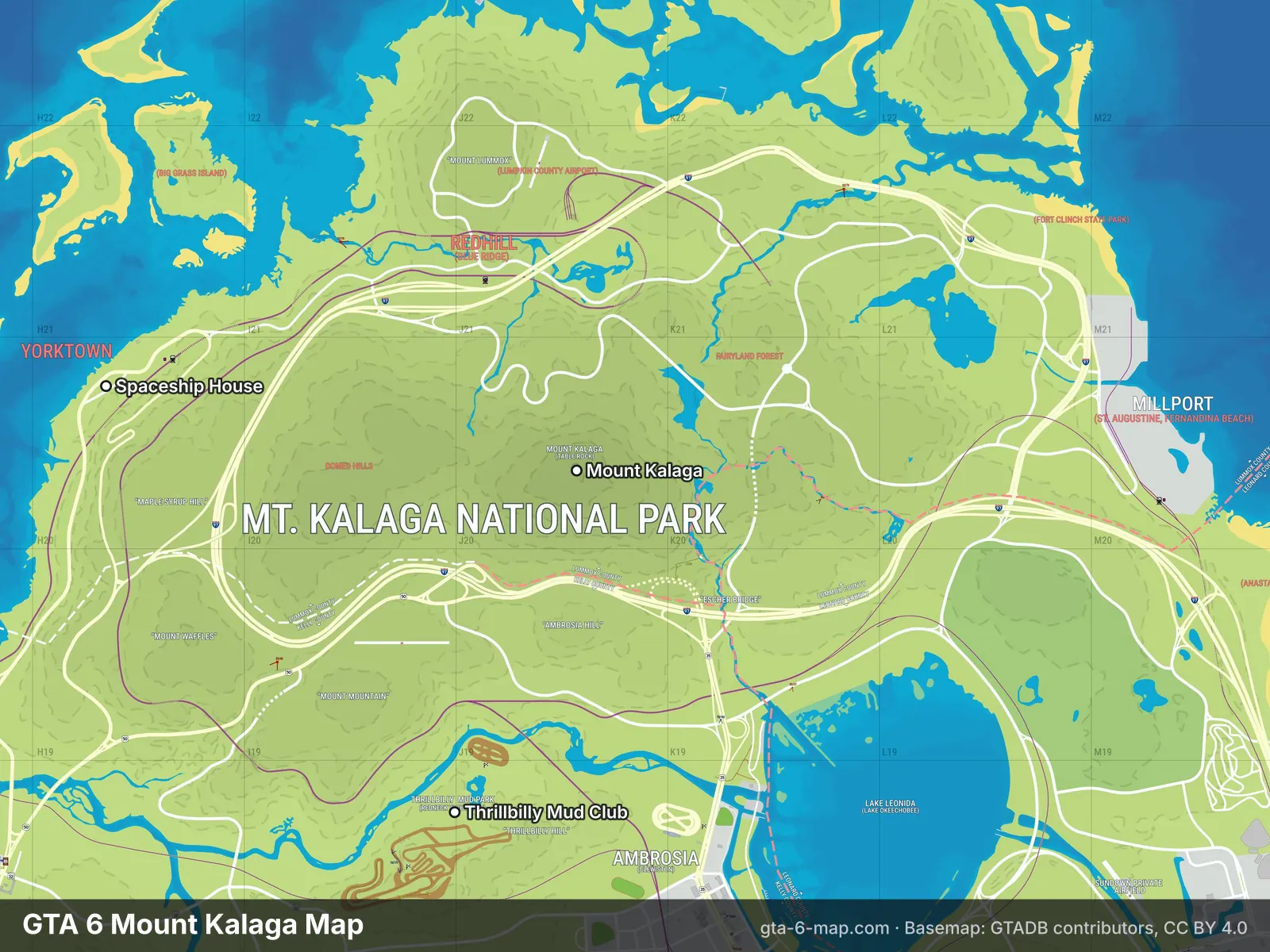 Mount Kalaga National Park in the north.
Mount Kalaga on the northern border. Download: WebP · JPEG
Use this image
You're welcome to use these images in videos, articles, wikis and forum posts, including commercial ones. The basemap is by the GTADB community under CC BY 4.0, so the only condition is a credit. Please use:
Map: gta-6-map.com (basemap: GTADB contributors, CC BY 4.0)
On a website, link the credit to https://gta-6-map.com. To embed the live map instead of a picture, open any place or category, click Share → Embed this map and paste the code. Making an "all locations" video? Get in touch and we'll set up a map link for your description.
Is this the real GTA 6 map?
It's the most accurate map possible before release, but not Rockstar's own. The GTADB community built it by matching buildings in official trailers and screenshots to real Florida locations and triangulating their positions. Coastlines and roads far from any official shot are less certain. Read how in How big is the GTA 6 map? and what the leaks added in the map leak guide. We'll update these images after launch on November 19, 2026.
How were these images made?
We render them from the same map tiles as the interactive map, then add our labels: region names plus the best-known landmark in each area, chosen from places with a real-life match or an official source. The labels link up with our place pages, so you can look any of them up, for example the Ocean View Hotel or the Vice City sign.